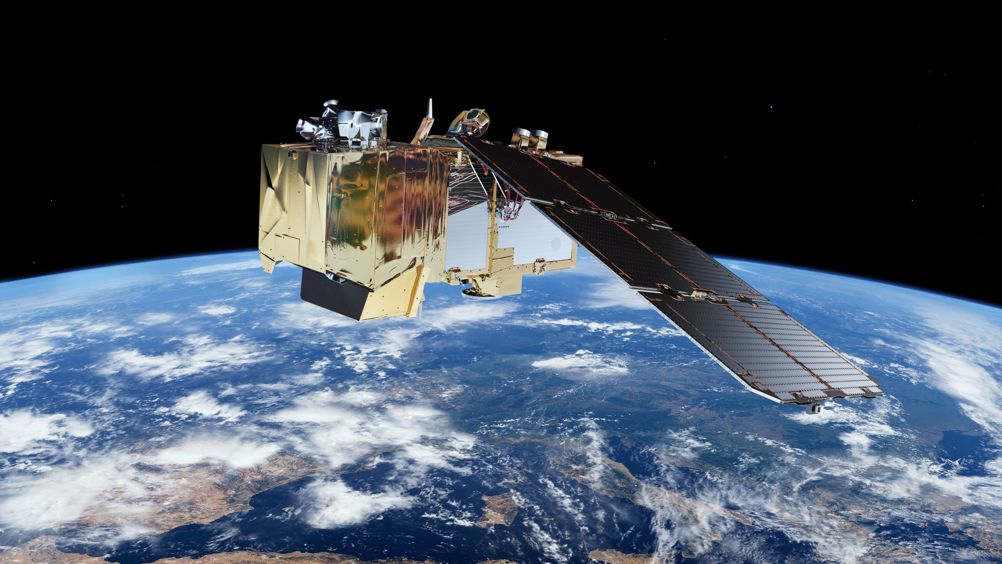
The launch took place at 02:50 BST on September 5, with the satellite reaching orbit approximately 14 minutes later. It marked the final launch for Arianespace’s Vega rocket, with it now being retired to make way for the Vega C.
The third Copernicus satellite to enter service, the Airbus-built Sentinel-2C is set to replace Sentinel-2A, which has been in orbit since 2015. Joining Sentinel-2B, the new satellite will fly the same orbit as its sibling, but 180° apart. Together, the pair will cover all of Earth’s land and coastal waters every five days, providing high-resolution optical imagery for a wide range of applications including land, water and atmospheric monitoring.
“We are thrilled to celebrate the successful launch of Sentinel-2C,” said Simonetta Cheli, ESA’s director of Earth Observation Programmes.
“This mission further confirms the role of Copernicus as a leading programme to contribute to climate change and environmental challenges worldwide, but also ensures the continuity of vital data to support agriculture, forestry, maritime monitoring, and for many other sectors. Together, we are solidifying Europe's commitment to a sustainable future, empowering decision-makers with the tools they need to protect our planet."

The current Sentinel-2 satellites each carry a high-resolution multispectral imager that generates optical images in the visible, near-infrared and shortwave-infrared part of the electromagnetic spectrum. From an altitude of 786 km, they provide continuous imagery in 13 spectral bands with resolutions of 10m, 20m and 60m, with a large swath width of 290km. To date, the Sentinel programme has produced more than 34 million Gigabytes of data.
Commenting on the launch and the UK’s role in Copernicus, Dr Paul Bate, chief executive of the UK Space Agency said: “Satellites improve life on Earth and protect our planet. The UK played a key role in the development of the Copernicus programme to date, and we’re confident that our ongoing participation will generate even more industrial contracts and world-leading climate science.”


McMurtry Spéirling defies gravity using fan downforce
Ground effect fans were banned from competitive motorsport from the end of the 1978 season following the introduction of Gordon Murray's Brabham...