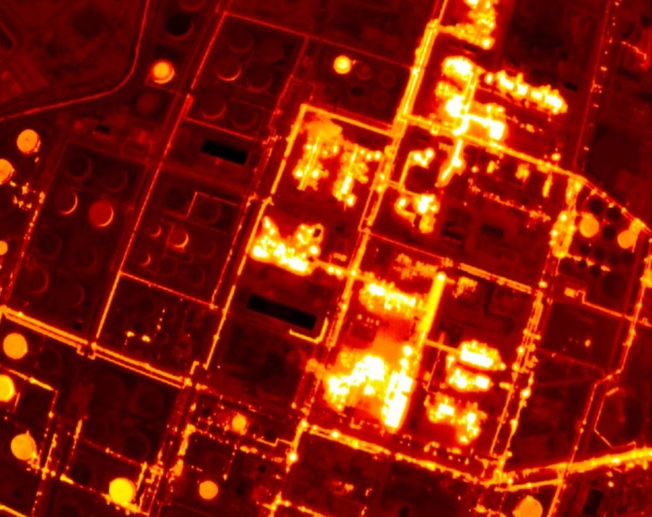
The satellite constellation will be equipped with infrared sensors capable of detecting heat emissions from any building on the planet, said Satellite Vu CEO Anthony Baker.
They will be able to collect real-time temperature data about the Earth’s built environment several times a day, allowing for key insights around energy efficiency and how buildings are being used.
“We’re finding two major applications for it: one is in economic activity, so we can determine whether a building is operating, outflows, or how active it is over time,” said Baker. “The other thing is, where in the world are we wasting all our energy?
“This is particularly pertinent in everyone declaring net zero — thousands of companies and many countries … don't really know what their carbon footprint is today, or where their energy is being used, and they don’t know where the worst sites are.”
Government commissions Solar Power Satellites research
Manchester mission to improve low altitude satellites
Baker explained how the mid-wave infrared video cameras can take multiple frames of the same site, which can be viewed from various angles to allow for further data sets.
“Just like your iPhone, we can stack these images to get a better resolution than you can normally anticipate for a small satellite,” he added. “This is a completely new data set of this resolution and at this frequency with a video camera.”
He describes the satellites, around 150kg in mass, as being on a medium size scale for a new space satellite — slightly larger than recently developed shoebox-sized satellites, with a high resolution of three and a half metres. Their lifespan will be around five years, Baker said, and the entire constellation is planned for launch within the next two years.
The seed funding round, led by Seraphim Capital, was also supported by A/O PropTech amongst other specialist investors. The newly announced funding round will enable construction of the first satellite, due for launch in October 2022.


PMI falls as manufacturers feel the squeeze
17 months or two and a half years - which is it?