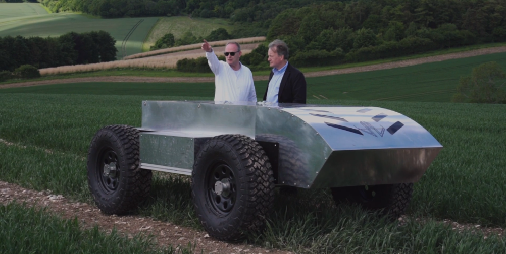
The Future of Food programme will see 5G Rural Dorset - a consortium led by Dorset Council - testing 26GHz spectrum communications alongside the latest Qualcomm microchips, allowing for huge amounts of ‘per-plant’ agricultural data to be harvested and analysed. Led by Wessex Internet, the project has already overseen the largest 5G agri-tech trails in the UK, which have included drones for crop spraying, sensors deployed across multiple farms, and AI-camera monitoring of cattle health and seaweed growth. It’s claimed that this type of data-driven future farming has the potential to dramatically increase yields as well as reduce the amount of chemicals and manpower modern agriculture often demands.
Green machines: sowing the seeds of farming 4.0
Ceres Agri-Tech to fund mushroom picking robots
Project aims for 5G connected agri-robots
“Higher frequency spectrum expected to be released by Ofcom this year may be able to transmit large volumes of data quickly, transforming sectors including agriculture,” said Dave Happy, 5G RuralDorset Spectrum and Security lead.
“Intelligent teams of robots which can spot weeds and destroy them naturally have the potential to increase yields by 200 per cent and reduce the need for harmful herbicides and chemicals by up to 95 per cent.”

The Future of Food programme is supported by the Department for Digital, Culture, Media and Sport. Part of the £5m funding will now see research carried out at Dorset Innovation Park, where facilities are in place to test the latest 5G comms equipment in conjunction with Qualcomm’s semiconductors.
“This work in Dorset is the latest demonstration of how we’re inventing the technologies of an intelligently connected future, spearheading research efforts to scale mmW 5G in 26GHz band across diverse use cases and collaborating with industry leaders to drive the commercial momentum,” said Ben Timmons, senior director of Business Development at Qualcomm Technologies International.


McMurtry Spéirling defies gravity using fan downforce
Ground effect fans were banned from competitive motorsport from the end of the 1978 season following the introduction of Gordon Murray's Brabham...