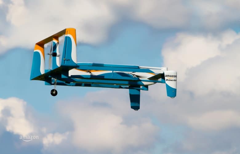
The agreement gives Amazon the go-ahead to trial three specific components: beyond line-of-sight operations in rural and suburban areas, sensor performance for obstacle identification and avoidance, and flights where one operator oversees multiple autonomous drones. All three elements will be key to demonstrate the viability of Amazon’s Prime Air delivery service, first proposed back in 2013.
“The UK is a leader in enabling drone innovation – we’ve been investing in Prime Air research and development here for quite some time,” said Paul Misener, Amazon’s vice president of Global Innovation Policy and Communications.
“This announcement strengthens our partnership with the UK and brings Amazon closer to our goal of using drones to safely deliver parcels in 30 minutes to customers in the UK and elsewhere around the world.”
Amazon’s UAVs (Unmanned Aerial Vehicles) will weigh around 25kg and be capable of delivering packages weighing roughly 2kg. Current plans are for the drones to fly in separate airspace to manned aircraft, operating under 400 feet over distances of approximately 10 miles.
According to Amazon, it has Prime Air development centres in the US, UK, Austria and Israel, and is testing the vehicles across multiple international locations. In the US, however, it remains illegal for pilots to fly UAVs out of line-of-sight, over populated areas, and operate more than one drone at a time. The support of the CAA for the new trials therefore marks a significant victory for Amazon, and could be a boon for drone technology in the UK.
“We want to enable the innovation that arises from the development of drone technology by safely integrating drones into the overall aviation system,” said Tim Johnson, CAA policy director. “These tests by Amazon will help inform our policy and future approach.”
Last week The Engineer reported on Starship Technologies’ six-wheeled autonomous delivery robots, which are set to begin trials across London shortly.


PMI falls as manufacturers feel the squeeze
17 months or two and a half years - which is it?